Michigan’s Red Arrow Highway Explained
What's the story behind southwest Michigan's iconic Red Arrow Highway?
The road runs between New Buffalo and Kalamazoo, mostly bypassed nowadays by travelers on Interstate 94. Ever wonder about its history and how it got its name?
The path dates back to the earliest trails in Michigan, the St Joseph Trail, a trace from Lake Michigan to Detroit roughly parallel to the Territorial Road. With the advent of the US Highway system, US 12 was the number given to the roadway from New Buffalo to Detroit via St Joseph, Kalamazoo, Battle Creek, Albion and Jackson.
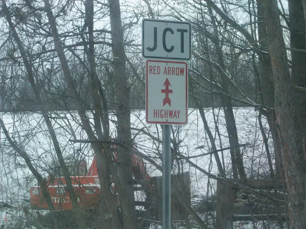
In the early 1950s, a proposal was floated to name this "main street of Michigan" to honor soldiers from World War I, the Red Arrow Division, officially the 32nd Infantry, made up of National Guard members from Michigan and Wisconsin. Only Berrien and Van Buren counties took up the Red Arrow moniker which is why the roadway changes names at the Kalamazoo County line to Stadium Drive.
Today Red Arrow Highway runs from New Buffalo to Mattawan at the Kalamazoo/Van Buren county line. It is now a discontinuous route with a chunk closed to traffic in Benton Harbor after an expansion project at the Southwest Michigan Regional airport closed Red Arrow at Crystal Avenue.
Red Arrow takes on a few different names in the communities it passes through: Lakeshore Drive in St Joseph; in Coloma, Watervliet and Lawrence it's St Joseph Street; Main Street in Hartford and Michigan Avenue in Paw Paw.
Michigan's Red Arrow Highway is not the only one that honors the World War II 32nd Infantry. Wisconsin's State Route 32 bears two tiny red arrows on every guide sign along that highway's 325 mile run across the Badger State.
Google Street View captured this look at the red arrows on a Highway 32 shield at the Illinois state line.

Want to head out on the highway some more? Check out these must-drive roads in every state:
See the Must-Drive Roads in Every State
More From WKMI